#upperBuffalo

Hike to Whitaker Point(Hawksbill Crag)
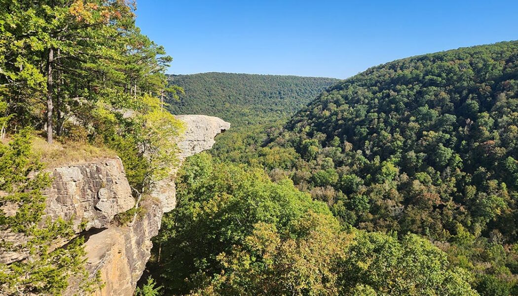
If you do a lot of hiking in Arkansas and haven’t made the hike to Whitaker Point, you have to add this one to your to-do list. It’s one of the more popular hikes in the Ozarks. Even if you don’t know what Whitaker Point is, you’ve probably seen a picture of it somewhere. Also known as Hawksbill Crag, it is one of the most photographed scenic spots in Arkansas. Lots of marriage proposals happen here and people actually pay photographers to capture the moment from far off. So what is it? Hawksbill Crag is a large rock outcropping sticking out from the top of a really high bluff. The bluff overlooks Whitaker creek in the valley below. On the AllTrails app, it is listed as “Whitaker Point Trail (Hawksbill Crag)”. On Google maps, you’ll find both ̶...

Hiking the Big Bluff Goat Trail on the Buffalo River
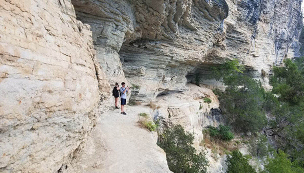
I have written a few articles about certain popular hikes or floats that have always eluded me for whatever reason. Hiking the Big Bluff Goat Trail is one of those that has been on my list for years, but just never happened. But this summer, I finally got to mark this hike off my list. And it was everything I expected it to be. In a time where waterfall hikes are all the rage, this a great hike to do when those falls are all dried up. What a great hike this one is. It’s not too long, not too short, slightly challenging, and definitely one of the most rewarding. If you have not made this hike yet, I highly recommend adding it to your list. If you use the AllTrails app, this hike is called Centerpoint to Goat Trail. I think you can get all the way to Hemmed-In Hollow from this trail, b...

Hemmed in Hollow Falls Via the Buffalo River
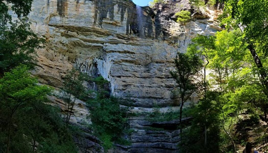
Did you know that the highest waterfall between the Appalachians and the Rocky Mountains is located right here in Arkansas? Yep, that’s right. Hemmed in Hollow, located on the Buffalo National River, is 209 feet tall. That makes it the highest waterfall in Mid-America, according the National Park Service. From the regular trail head it’s a pretty tough hike. It starts in the hills above the top of the falls and ends at the bottom of the falls. So the steep uphill hike out of there is the difficult part. But for anyone that’s physically unable to do this hike, I have good news. You can access Hemmed in Hollow Falls via the Buffalo River and it’s a very short, easy hike. OK, so if you thought I was going to tell you about some special elevator, zip line or something, ...
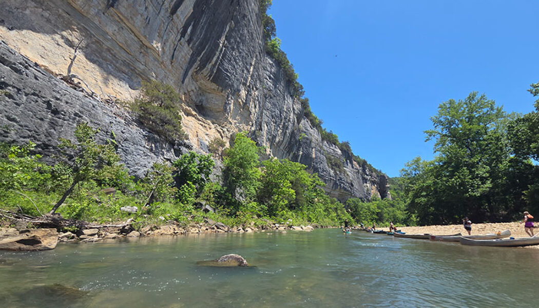

Floating Ponca to Kyle’s Landing on the Buffalo River
Floating Ponca to Kyle’s Landing on the Buffalo River is one of the classic day floats in Arkansas. This stretch of the Upper Buffalo has almost everything people hope for when they plan a Buffalo River trip: fast-moving water, emerald pools, towering bluffs, rocky shoals, and some of the most iconic scenery in the state. This is also one of the most water-dependent floats on the Buffalo. When the level is right, it is hard to beat. When it is too low, it quickly turns into a long day of dragging. So while Ponca to Kyle’s Landing should be high on the list for anyone wanting to float the Upper Buffalo, the river level needs to make the final decision. At a Glance Distance: 10.1 miles Difficulty: Moderate Ponca Access: 36.021230, -93.354789 Roark Bluff: 36.043796, -93.343878 Ste...
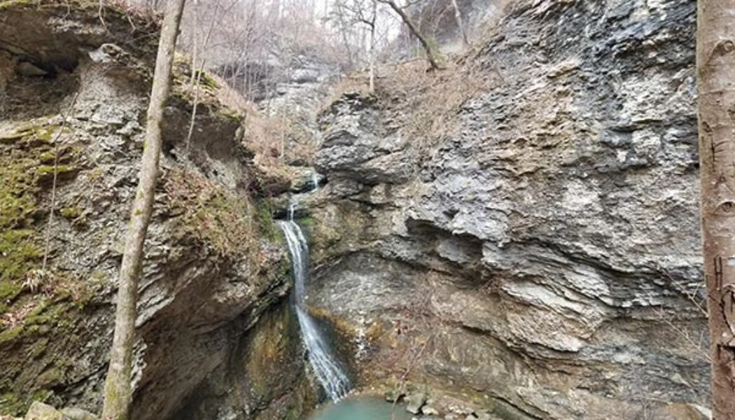

Hiking to Eden Falls at Lost Valley
December. It’s that time of year when most folks aren’t thinking about getting out for a hike. There’s Christmas shopping to do and parties to attend. And for a lot of people, it’s just too damn cold out there! Or is it? Although I’m really not a cold-weather person, some of my favorite hikes have been in the winter. I learned this years ago while hiking to Eden Falls at Lost Valley. It was 3 days before New Years. I had some time off from work and really needed some nature therapy. But…it was 28 degrees outside! If you know me, you know that I despise Winter. Hate it. I’m a warm-weather person all the way. But I reeeeally needed to get outside. So I layered up, packed water and lunch, and hit the road. The plan: Drive to Ponca and hike whatever I ...
- 1
- 2