#bluffs

Hiking or Biking at Rattlesnake Ridge
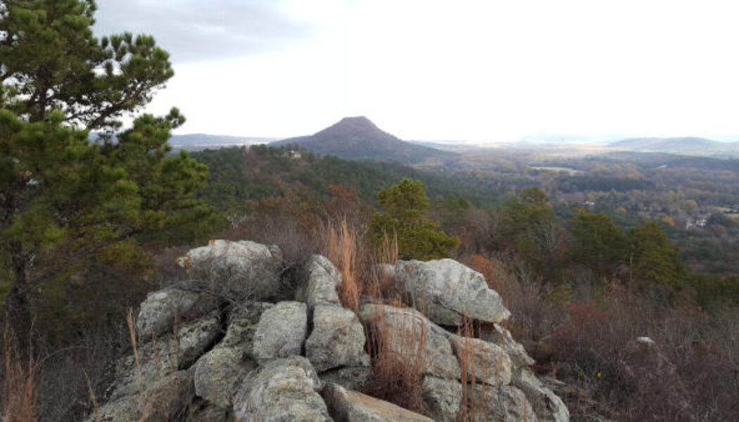
Living in Central Arkansas, I’ve watched the sun go down many times from the top of Pinnacle Mountain. From my spot on the north peak, I’ve looked to the west and wondered “what is that other mountain over there?” And “it sure would be cool if we could hike to the top of it and look back this way.” Well, that mountain “over there” overlooking Lake Maumelle is Rattlesnake Ridge. And in 2018 it was opened to the public for hiking by the Nature Conservancy and Arkansas Dept of Natural Heritage. Finally, a much-needed new place to hike close to home! I love Pinnacle, but after you’ve been to the top 150 times (not kidding), it kinda loses its luster. In 2019, mountain bike trails were added so we can now go hiking OR biking at Rattlesnake R...

Hike to Magnolia Falls in the Ozarks
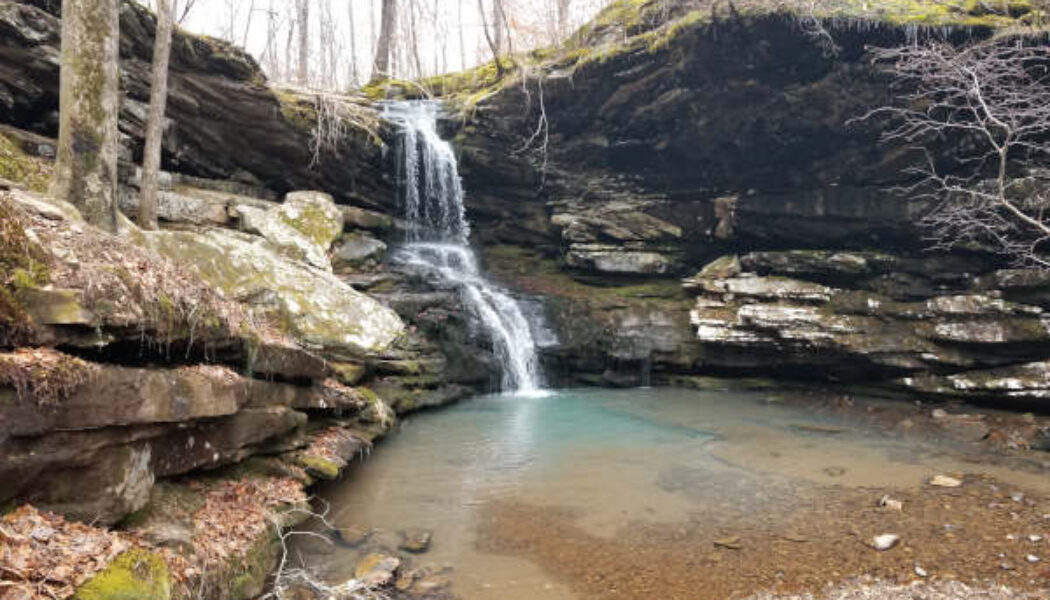
When it comes to hiking, I learned long ago to plan your hike, research it, and know what you’re getting into. I’ve learned this lesson several times. But every now and then I seem to forget it, and will go off exploring without a plan. Or I’ll plan a hike and change my mind on the way so I can see something else. Such was the case the first time I made the hike to Magnolia Falls between Deer and Fallsville. I had planned two other waterfall hikes near Ponca that day in early October. But after seeing that the area creeks would be low on water, I opted for Magnolia Falls. I had Magnolia Falls on my list for a while and even read a little bit about it. But I was still completely unprepared that day. I had not downloaded a map or read enough about how to access the other wa...

Alum Cove Natural Bridge
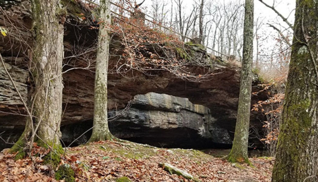
Many of the hikes I have written about so far are located in the areas between Russellville and Jasper, or Clarksville and Ponca. Nestled right in the middle of all those hills, creeks, and waterfalls lies Alum Cove Natural Bridge Recreation Area. In all my trips through this area, I’ve passed really close to Alum Cove probably a hundred times. And until recently, I had never stopped to visit – always in a rush to get somewhere else. But this past November, I made it a point to specifically stop in to check out Alum Cove. I was not disappointed. I had actually set out to do a different hike that day a little further north. But the road to that trailhead was flooded so I had to call an audible. I’d been saving the Alum Cove area trail as a backup plan for just such an occa...

Hike to Whitaker Point(Hawksbill Crag)
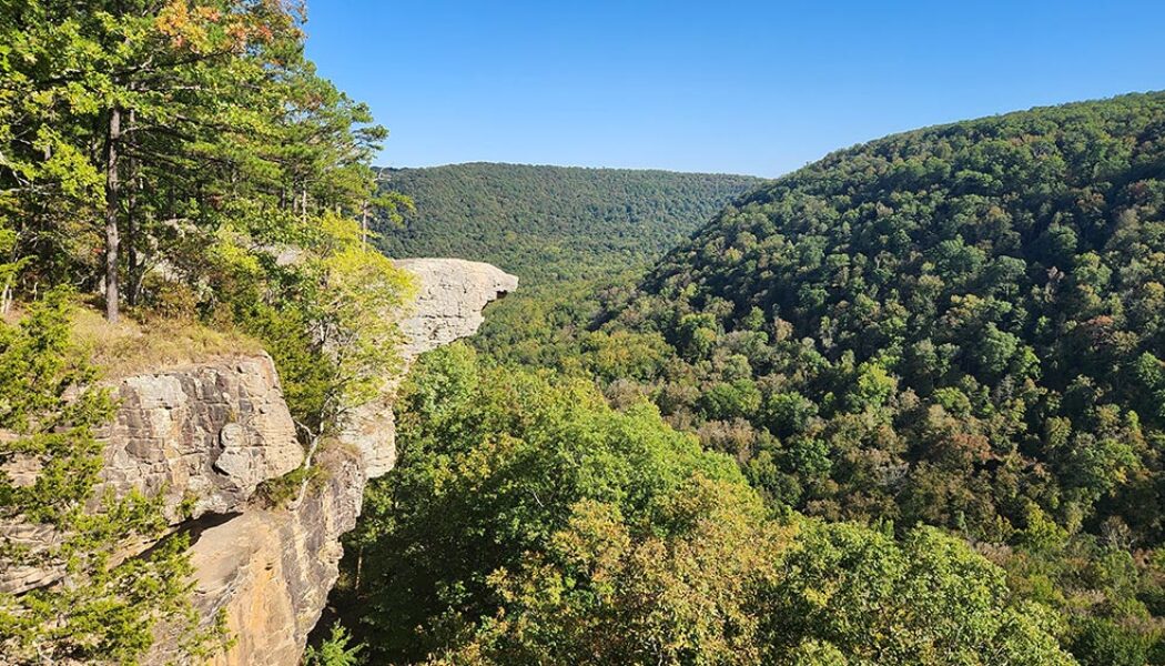
If you do a lot of hiking in Arkansas and haven’t made the hike to Whitaker Point, you have to add this one to your to-do list. It’s one of the more popular hikes in the Ozarks. Even if you don’t know what Whitaker Point is, you’ve probably seen a picture of it somewhere. Also known as Hawksbill Crag, it is one of the most photographed scenic spots in Arkansas. Lots of marriage proposals happen here and people actually pay photographers to capture the moment from far off. So what is it? Hawksbill Crag is a large rock outcropping sticking out from the top of a really high bluff. The bluff overlooks Whitaker creek in the valley below. On the AllTrails app, it is listed as “Whitaker Point Trail (Hawksbill Crag)”. On Google maps, you’ll find both ̶...

Hiking the Big Bluff Goat Trail on the Buffalo River
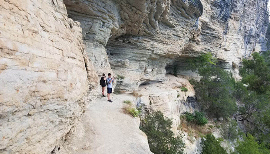
I have written a few articles about certain popular hikes or floats that have always eluded me for whatever reason. Hiking the Big Bluff Goat Trail is one of those that has been on my list for years, but just never happened. But this summer, I finally got to mark this hike off my list. And it was everything I expected it to be. In a time where waterfall hikes are all the rage, this a great hike to do when those falls are all dried up. What a great hike this one is. It’s not too long, not too short, slightly challenging, and definitely one of the most rewarding. If you have not made this hike yet, I highly recommend adding it to your list. If you use the AllTrails app, this hike is called Centerpoint to Goat Trail. I think you can get all the way to Hemmed-In Hollow from this trail, b...

Hike to Pedestal Rocks
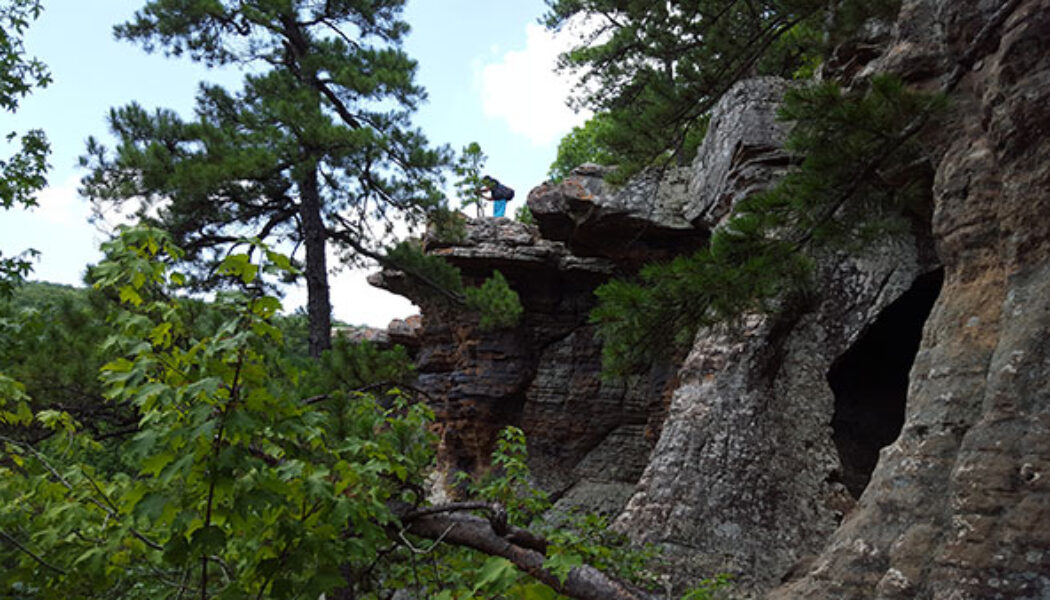
Well, here we are in the middle of Summer – the dog days. Most of the rivers are really low for floating. Most of the waterfalls are just a trickle, if not dry. And man, is it HOT! If you don’t have a pool, or a boat for enjoying the lake, don’t worry. There are still some fun things to do outdoors. Even in the low rivers, there are still some swimming holes out there. So why not do a hike and swim? During another sweltering summer a few years ago, some friends and I did exactly that with a hike to Pedestal Rocks. You may be thinking “wait a minute…Pedestal Rocks doesn’t have a swimming hole. It doesn’t have any water at all!” You would be correct. It doesn’t. But just 13 minutes down the road is the ever-popular swimming hole at Fallin...

Woolum to Baker Ford Float on the Buffalo
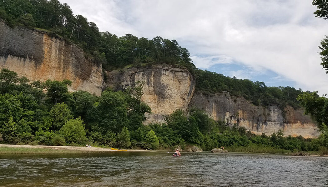
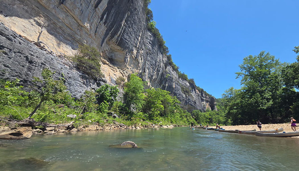
The Woolum to Baker Ford float is one of those Buffalo River sections that can easily get overlooked. It sits between several more talked-about stretches, yet it has plenty to offer in its own right. At around 11 miles, it makes for a nice, quiet day on the water with a good mix of scenery, long gravel bars, and a more peaceful feel than some of the busier sections of the river. If the water is there, it is a float that is well worth considering. This section can be a little hit or miss by mid-summer because the river level in this area can drop quickly. The Buffalo is known for going dry in places along this reach when water levels get low, so checking conditions before you go is important. The National Park Service notes that this stretch can even become a dry riverbed in spots during lo...

Floating Ponca to Kyle’s Landing on the Buffalo River
Floating Ponca to Kyle’s Landing on the Buffalo River is one of the classic day floats in Arkansas. This stretch of the Upper Buffalo has almost everything people hope for when they plan a Buffalo River trip: fast-moving water, emerald pools, towering bluffs, rocky shoals, and some of the most iconic scenery in the state. This is also one of the most water-dependent floats on the Buffalo. When the level is right, it is hard to beat. When it is too low, it quickly turns into a long day of dragging. So while Ponca to Kyle’s Landing should be high on the list for anyone wanting to float the Upper Buffalo, the river level needs to make the final decision. At a Glance Distance: 10.1 miles Difficulty: Moderate Ponca Access: 36.021230, -93.354789 Roark Bluff: 36.043796, -93.343878 Ste...

Hiking the Mt Nebo Rim Trail
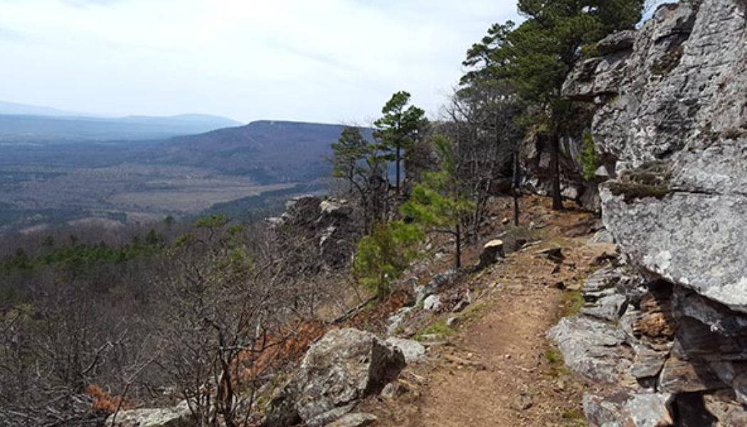
The weather in Arkansas has been perfect lately for hiking. There’s been just enough rain to keep most of the waterfalls flowing. But also lots of sunny days for those great vista view hikes. I love a hike that has both. A great one for that – one of my old favorites – is the Mt Nebo Rim Trail. Mt Nebo is a popular Arkansas State Park near Dardanelle in the Arkansas River Valley. They have quite a few different trails to hike or mountain bike. You’ll pass several trailheads as you drive to the top. Most of the State Park’s facilities are at the top of the mountain. This includes the visitor center, swimming pool, campground, and cabins. There are also some nice private homes and cabins up there. The whole park can be seen by car, from Sunrise Point to Sunset P...

Hike to Kings Bluff Falls
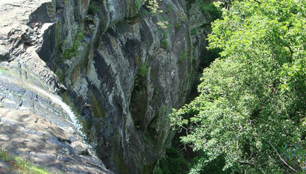
Welcome back! This is Part 2 of a series of my first Ozark Waterfall hikes. This is the second stop on a day trip spent hiking in the Big Piney Forest near Pelsor. If you missed it, Part 1 was the first leg of our day trip at Haw Creek Falls. So be sure to check that out for more info, maps, and pics. Our next stop that day was a hike to Kings Bluff Falls. Directions From Haw Creek, this was a backtrack to Hwy 7. (North on Hwy 7 past Dover to the Sand Gap/Pelsor area). At the intersection at Pelsor Post Office you take a right on Hwy 16 towards Ben Hur. See Google map below for directions to this and Falling Water Falls (Part 3). You will see a sign on the right for Pedestal Rocks / Kings Bluff Falls. Once you park, you’ll find the two trail heads are pretty close togethe...